Water is a prolific storyteller. A single raindrop has traveled for billions of years from the sky to the soil, up plant roots, off the tips of a leaf, to the atmosphere, and back again. A collection of raindrops might create a glacial lake or a river, whose collective story spans centuries and landscapes, shaping ecosystems and communities of biodiversity. Through a stream, we can trace history and predict the future.
In the Clark Fork watershed of northwest Montana, Grant Creek is sometimes referred to as "Missoula’s forgotten wilderness stream.” The gushing headwaters begin in Rattlesnake Wilderness where it tumbles through steep mountains, providing cold and clean water for native bull trout and westlope cutthroat trout. The tributaries collect snowmelt and recharge the aquifer, nourishing the balsamroots and ponderosa pines on its journey towards the Clark Fork River.
As the creek cascades into town, the story changes. This part of the creek is called Sx͏ʷtpqéyn by the Salish people, which translates to "place where something is cut off and comes to a point.”* Along these lower reaches, irrigation diversions, ditches, culverts, roads, and development have altered the creek so profoundly that the creek was designated as an impaired waterway in 1996. Much of this impairment is due to nonpoint source pollution, which comes from diffuse sources like those mentioned above. As rainfall or snowmelt moves over our human manipulated land and through the ground, it transports natural and human-made pollutants which accumulate and get deposited in water bodies. Nutrient loads and sediment have flushed into Grant Creek, degrading habitat and water quality. During the hottest times of the year, the creek goes dry, cutting off the ability for fish to use it as a migratory corridor to reach their spawning beds upstream. A landscape that once supported a dynamic and braided water system, has been tamed and channelized to support our development desires.
The story of Grant Creek could easily be left to continue this trajectory. Luckily, recent efforts have sought to rewrite the narrative, including a watershed restoration plan with local government, agencies, and nonprofits collaborating on restoring the creek. Receiving the ends of these waters is a family ranching operation, where Grant Creek has supported cattle for 90 years. The landowners, too, are seeking to leave their slice of stream better for their grandchildren.
The lower portion of Grant Creek hosts a unique collection of springs that feed the creek year-round. In the hottest times of the year, this stretch of creek continues to gain an upwelling of water, with temperatures still below 55 degrees, which provides climate refugia for fish from the mainstem. Enter here, a collaborative effort between the Clark Fork Coalition, Department of Environmental Quality, Fish Wildlife and Parks, and the Missoula Conservation District to restore a portion of creek just upstream of the confluence with the Clark Fork River.
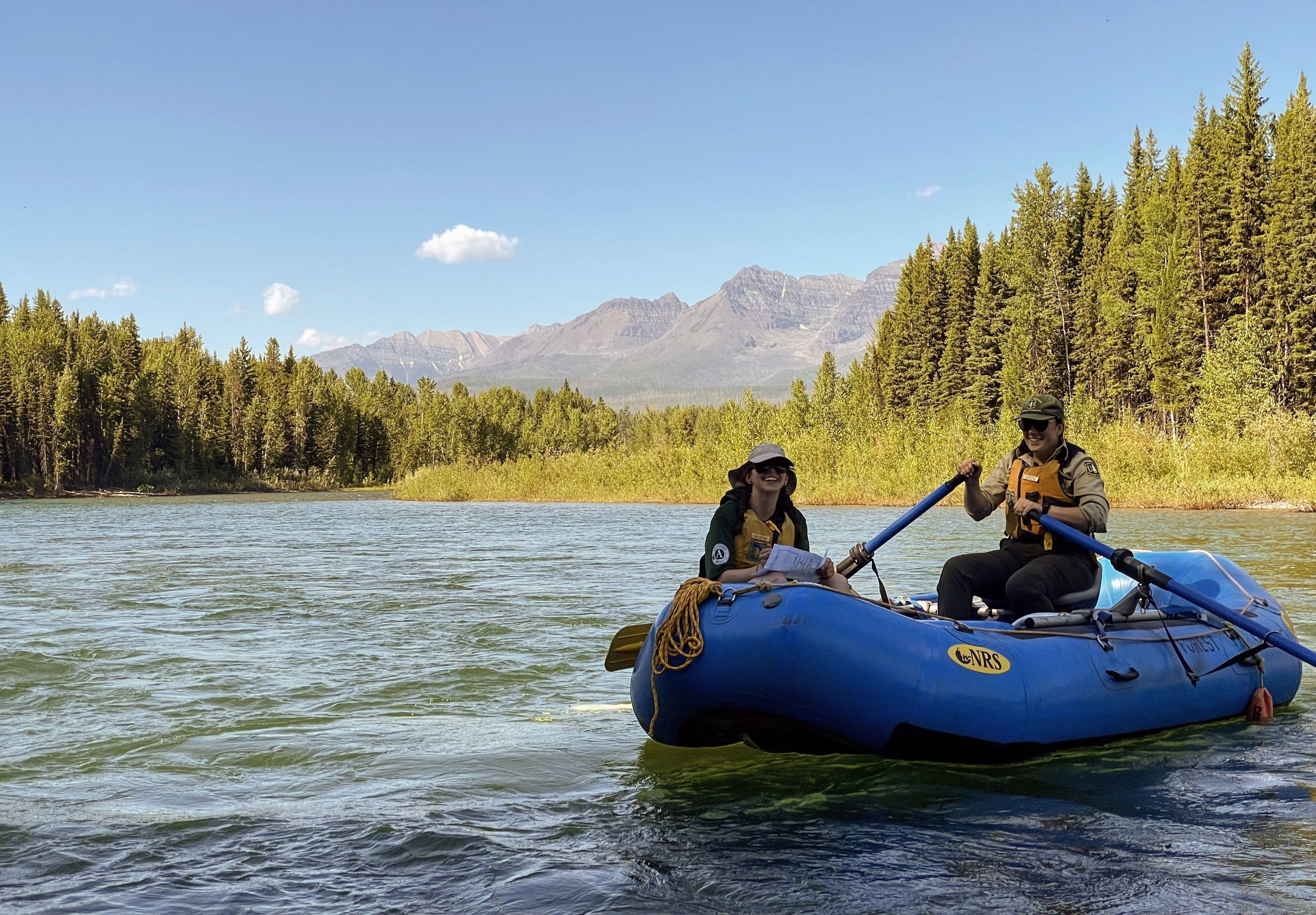
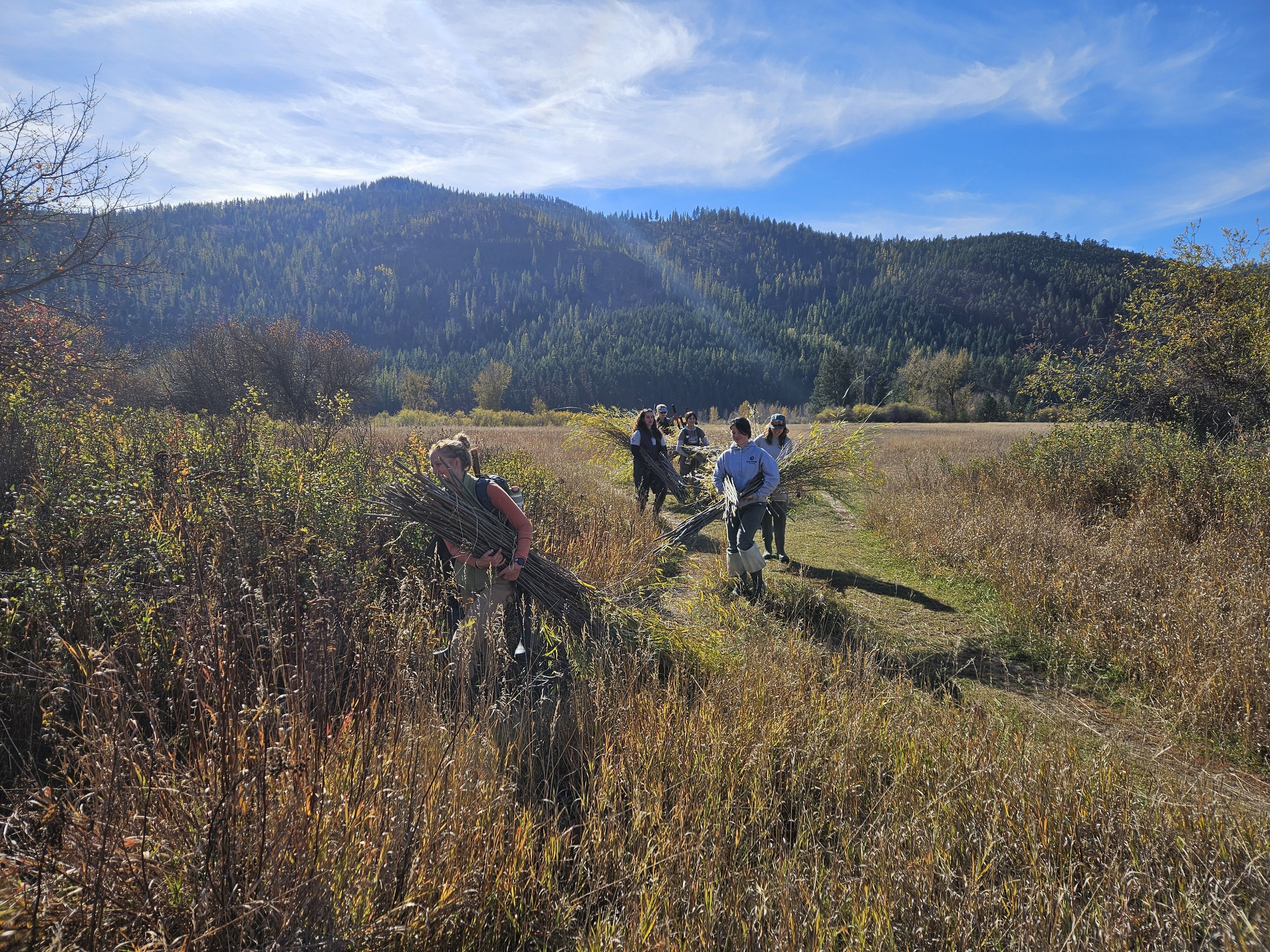
During my Big Sky Watershed Corps term with the Clark Fork Coalition, I’ve been able to assist with Phase 1 of the Lower Grant Creek Restoration Project. With funding from Montana Watershed Coordination Council (MWCC), Department of Environmental Quality (DEQ), and the Environmental Protection Agency (EPA) as part of the MWCC BSWC 319 Project Support grant, I’ve gotten to support the restoration project with revegetation efforts. With a team of volunteers, students, and other BSWC members, we’ve collected willows, planted trees, and spread native seeds.
The restoration project seeks to change the trajectory of Grant Creek’s story. The physical channel structure has been reimagined, with added stream sinuosity, complexity, and bank stabilization with buried woody habitat lined by willow. Together, the project will improve stream channel, add floodplains, and implement a 35-foot riparian buffer along 4,475 linear feet of stream bank with the addition of 38,000 willows, 70 trees, and 8 acres worth of native seed. These additions will address nonpoint pollution by reducing erosion, filtering sediment, decreasing stream temperatures, and increasing nutrient uptake by rooted plants. Additionally, fencing will be added to prevent livestock from crossing the creek except at designated points, which will help reduce nitrogen levels and their impact on the stream banks.
That’s a lot of project-specific details, but the bottom line is that we can be active characters in water’s story. I’m ending my term filled with inspiration and hope for a future of water stewards. From the project managers and contractors who implement on-the-ground restoration to the kind community members who spend an afternoon romping around the yellowing cottonwoods to collect willow for their new home, we care. We’re seeking to listen and learn from the water to create the conditions necessary for a forgotten wilderness stream to reclaim its story. To give it the space to roam, to nourish plants, provide a home for fish, and sustain life.
Last year, a bull trout who spawned in Rattlesnake Creek (Grant Creek's neighboring drainage), traveled 14 miles from the Clark Fork mainstem up to Grant Creek's headwaters. To me, this journey of an individual fish symbolizes not just resiliency and hope, but a commitment to honor our watershed. Not only is life still here, but it's seeking to thrive. How can we not only listen, but transform what we hear into change?
Thanks to MCC and Clark Fork Coalition for a year of hope, for allowing me the chance to listen to the flowing water in this place I call home.
* To learn more about the Salish people and Grant Creek, check out the StoryMap Nɫɫq̓esuʔl̓m Re-storying Grant Creek: https://storymaps.arcgis.com/stories/aba73ea510bd4245baeb53f0705edd7a