I go to Bear Creek at least twice a month to work on a local landowner's property to survey land and collect discharge data. Eventually, I'll plant native trees and shrubs to improve the creek's riparian area. When I arrive, I am greeted by their gray and ever-shedding barn cat who is very uncertain about my presence. If Sam is around he can be heard from a ways away, barking at me as I pull over my car and pull on my thigh-high wading boots. I gather up my tool kit containing my water bottle, a 100-foot measuring tape that has inches on one side and tenths of inches on the other, pencils, two very dull screwdrivers, two clamps, homemade data sheets, a temperature thermometer, and a snack for the field. If I have my velocity flow meter I bring that too.
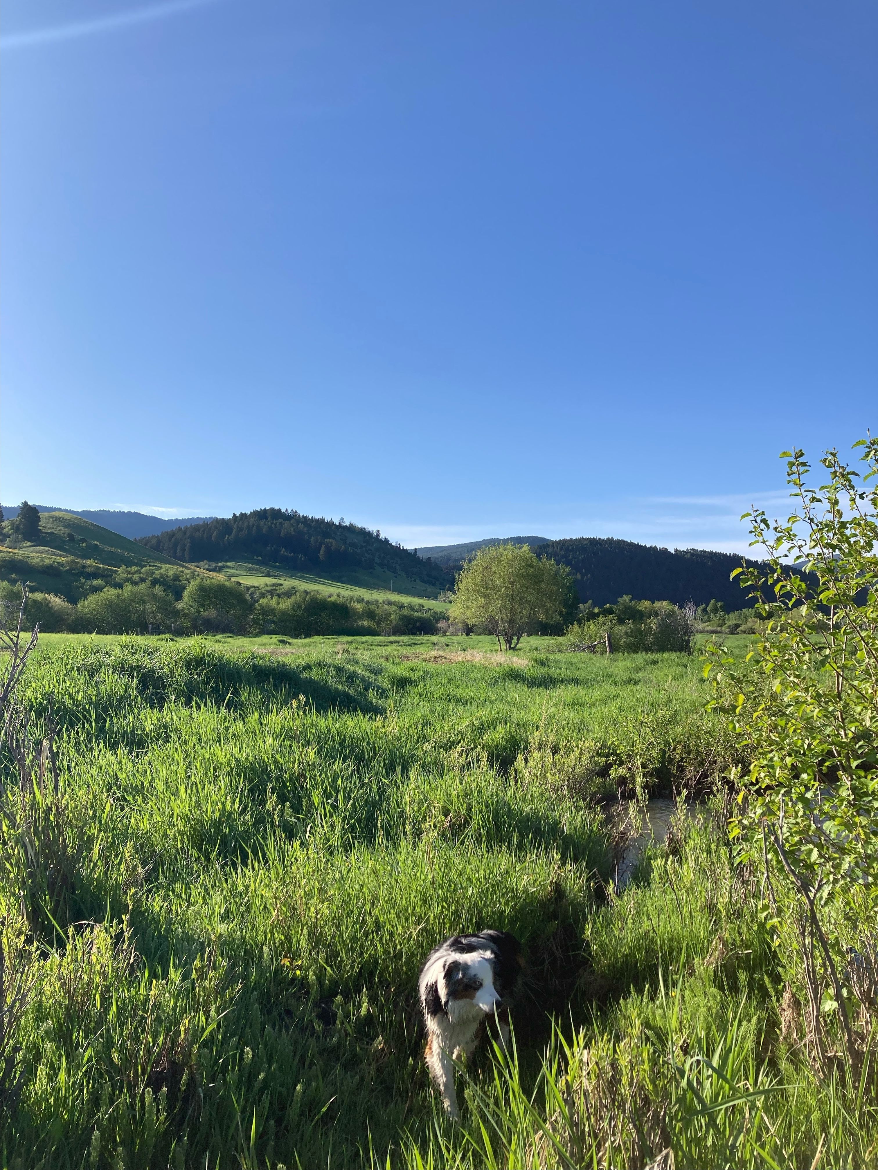
I first start my visits by measuring the eroding stream bank where the majority of my project is based. A fence runs parallel to the eroding bank so I measure along the fence at marked-off intervals from the fence to the bank of Bear Creek and record those measurements in my notebook. I then take out my phone and capture photos at marked-off photo survey points. One upstream looking down at the eroding bank. Two downstream looking up. And two across the creek looking directly at the exposed looming bank. All the while taking breaks to drink some water, inspect the tall grasses as I wade through, and take in the beauty of all that is around me.
If I happen to have a portable velocity flow meter, that is my next task. I head up the stream a bit to my permanent stream staff gauge which is a big ruler marking the creek's water height. It's screwed onto a metal post which I pounded into the ground earlier this May. Inside the metal pipe is a true tracker. I string the measuring tape across the stream and secure it with the two dull screwdrivers one on each side into the soft soil. I then work from left to right along the suspended measuring tape in the stream bed to record at least twenty-five measurements of depth and velocity. This data is then used to calculate the total discharge of the creek.
Come fall I will be ordering truckloads of plants to bring to Bear Creek to try and stabilize the soil and bank a bit. So far, I have had a great time learning the ropes of how to manage a grant project effectively, collect accurate data, and spread my roots within my community. I’ve found that it’s mostly what you make of it, and I try to make the most of my visits. By the end of my visit, Sam shows me his assortment of dog toys and the cat is no longer wary of me but rather covering me from my waist down in tufts of gray love.